


ESP


5.00€
Interactive games and explanations in digital version. Free PDF map downloads. Available in 4 languages. Learn geography and have fun.


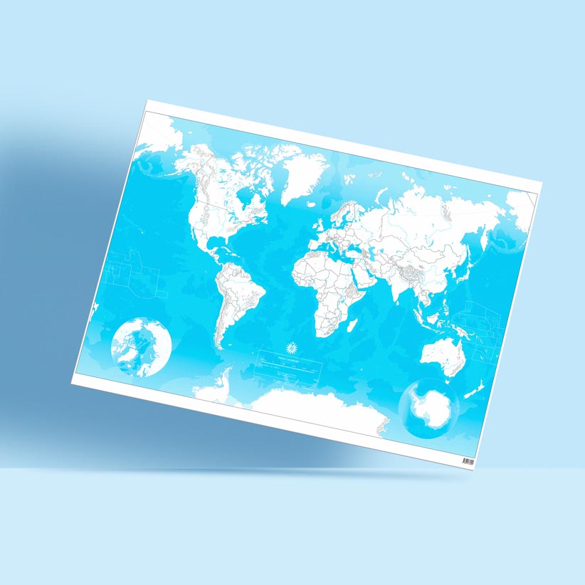
Interactive Blank Map of Europe, including maps and interactive games of european geography and downloadable PDF maps.
Enjoy and learn with this activity.
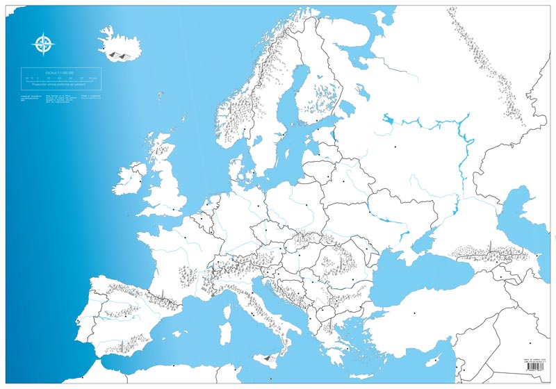

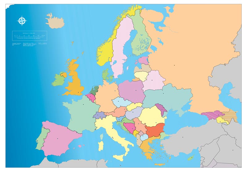
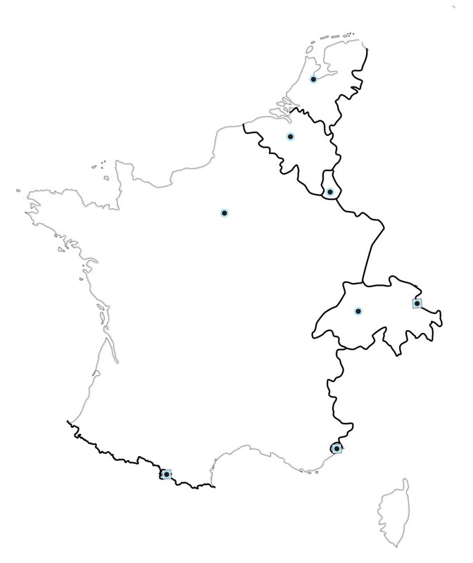
With the Interactive Blank Map of Europe, explore and study every corner of the european geography, adapting various physical and political map variations to meet curriculum needs. Collection of blank maps of Europe in digital format, both physical and political, with and without boundaries.
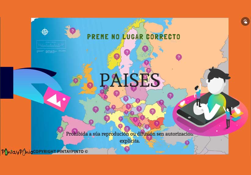
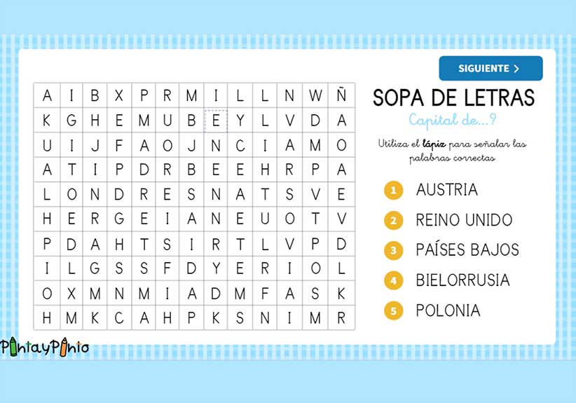
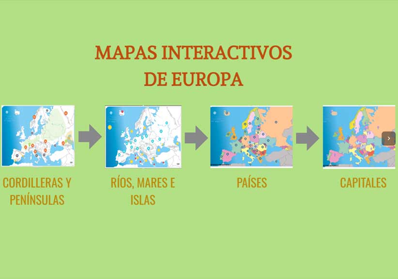
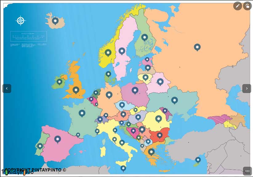
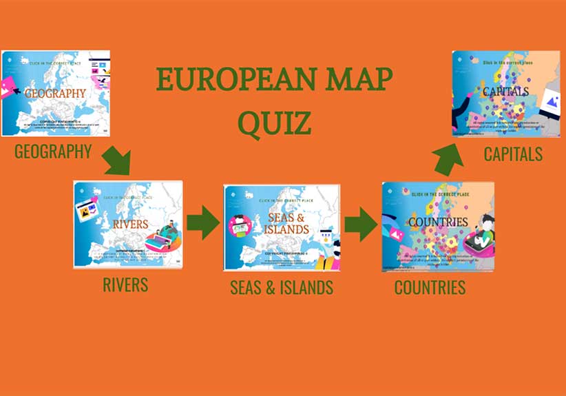
Includes interactive maps of:

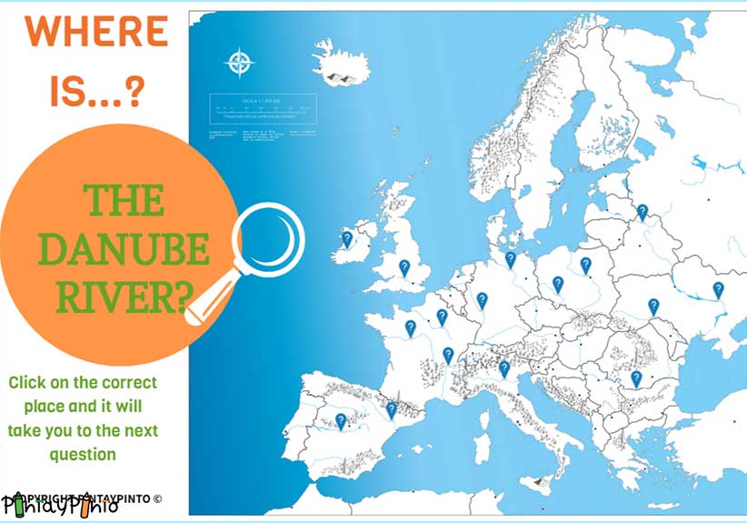
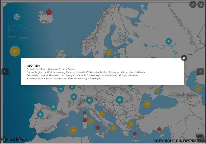
With the digital version of the Blank Map of Europe, you can personalise your learning with different variations of physical and political maps. Discover the names of rivers, seas, mountain ranges, and much more.
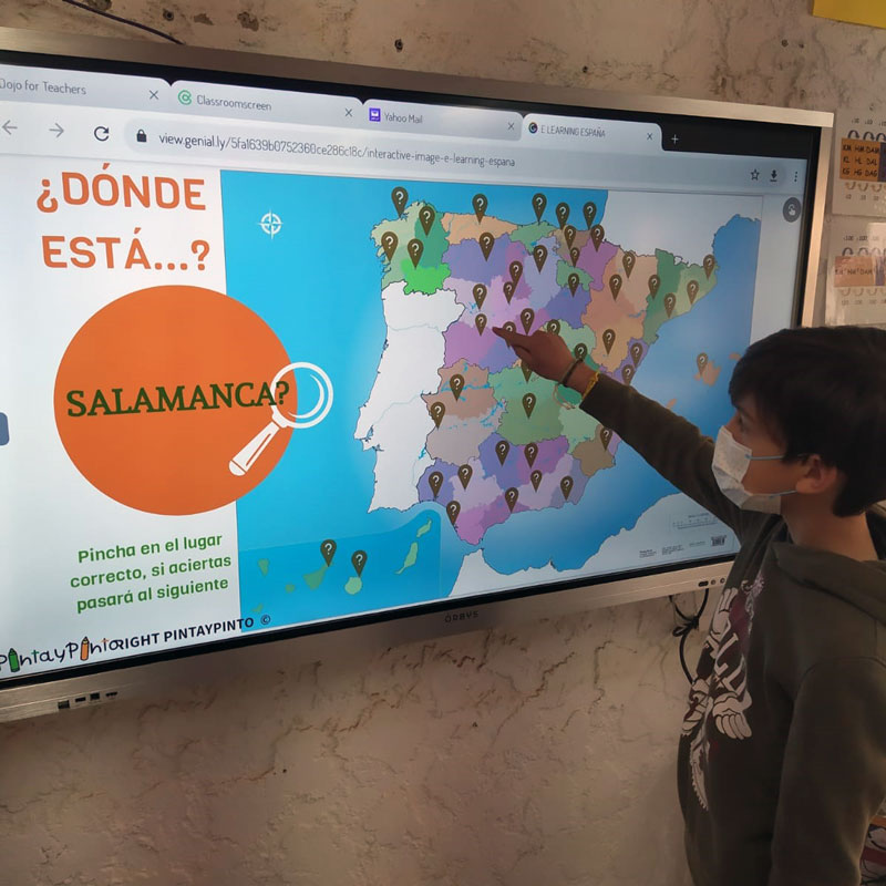
Interactive games turn learning into a fun and effective way to review Europe's geography knowledge in the classroom.
They help us review:
This educational resource is available in English, Catalan, Basque, and Galician.
Access the digital version through Genially.

Teachers and students will benefit from the complete collection of blank maps of Europe in digital and downloadable PDF versions.
This makes it easier to explore mountain ranges, river courses, political maps, and detailed knowledge of each country.
Additionally, we have prepared A4 PDFs of countries to cut-out, including flags, capitals, and more, to facilitate individual or group work and collaborative projects.

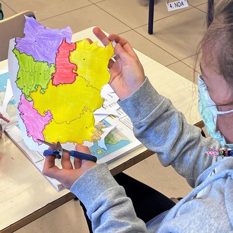
The interactive blank map of Europe includes a collection of A4 PDFs featuring cut-outs of countries, flags and country names.
This resource is ideal for individual or group work, encouraging collaborative projects in the classroom.
Did you know that when you buy the printed map of Europe you also get for free the interactive map of Europe?
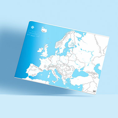
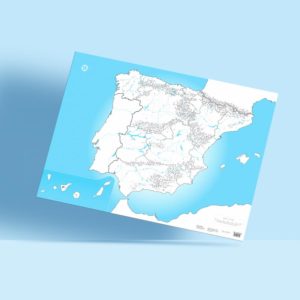
The blank map of Europe includes all the digital content we've seen previously, along with a high-quality printed copy measuring 100 x 70 cm.
It's perfect for working with large groups in the classroom or for group projects.
Visit our collection of blank maps to select the map that suits your needs.