
ESP


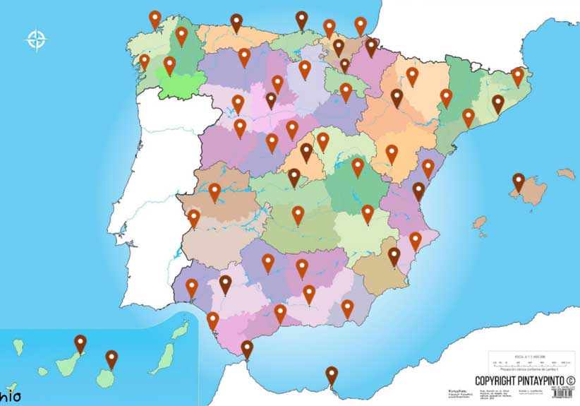
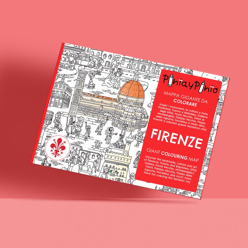
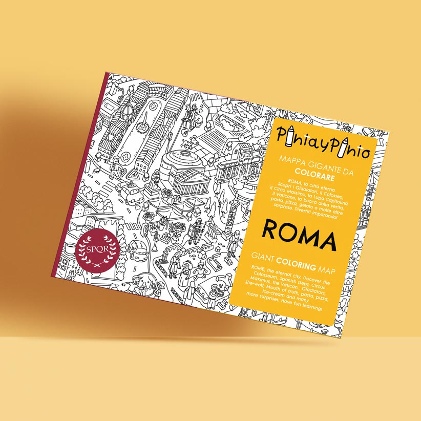
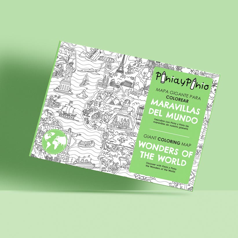
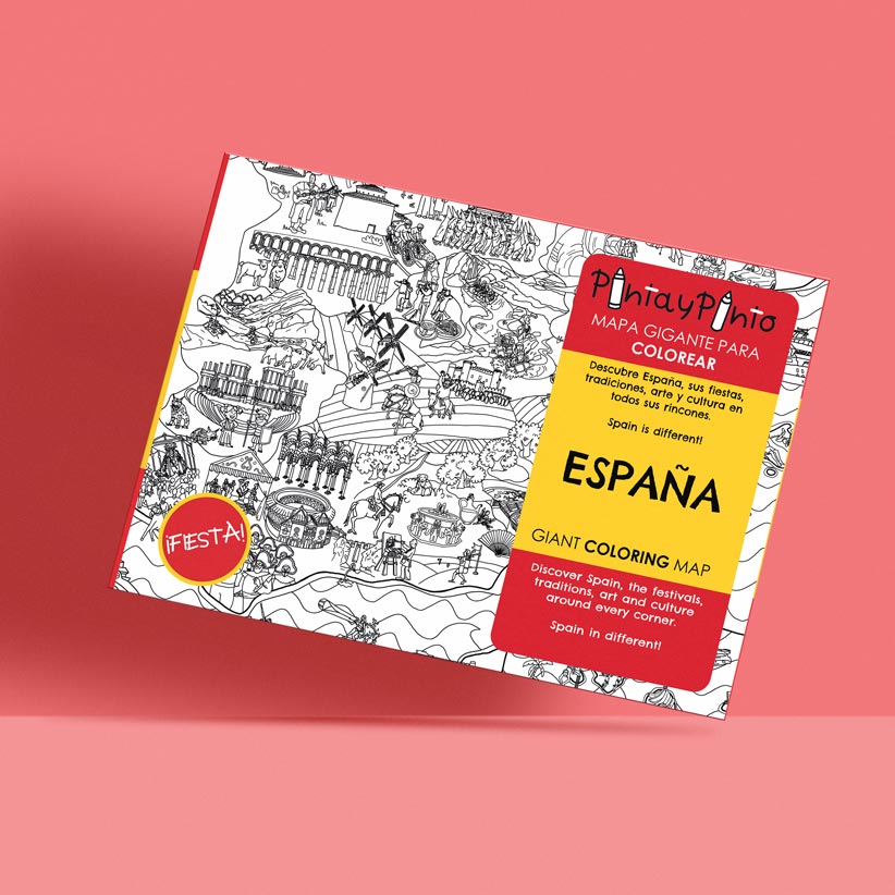
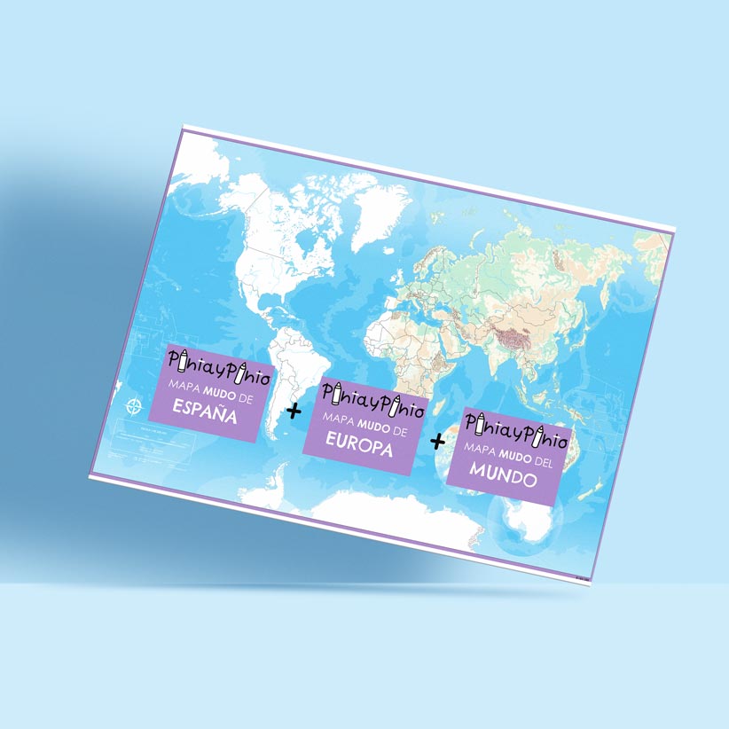
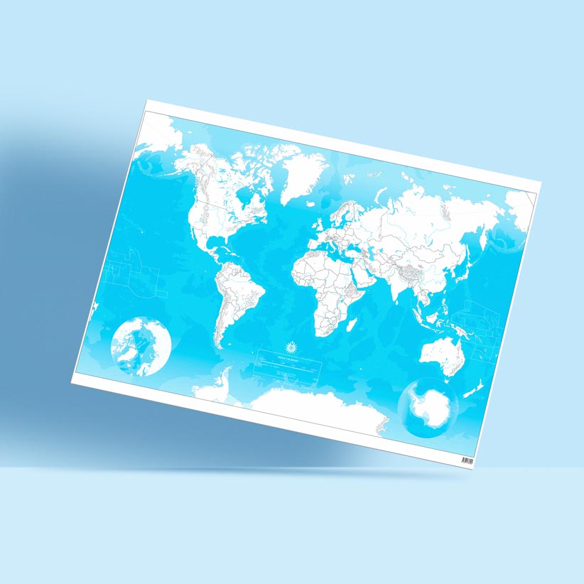
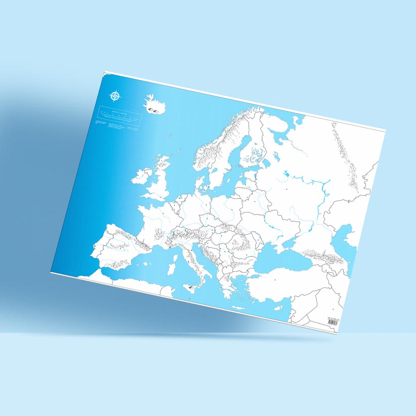
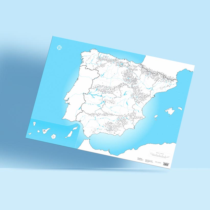
Our collection of large format blank maps (100 x 70 cm) is ideal for education and interactive learning. Here you will find blank maps of Spain, Europe, and the world, designed to provide a comprehensive and versatile educational tool.
Our blank maps are printed on high-quality paper, allowing their use with markers, pencils, crayons, and even watercolours.
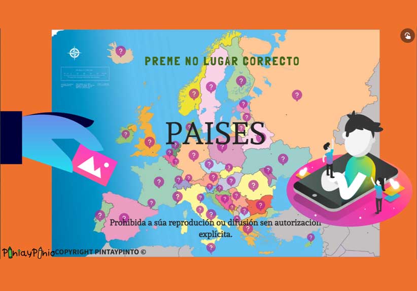
They include digital versions of physical and political maps, interactive games, A4 size PDF downloads of many maps, and 48 velcro pieces to customise your map with reusable labels. We've thought of everything!