

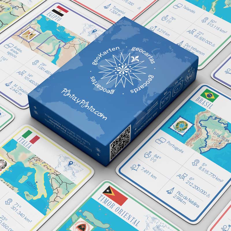
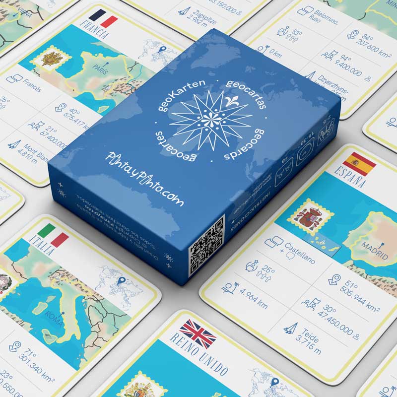

ESP
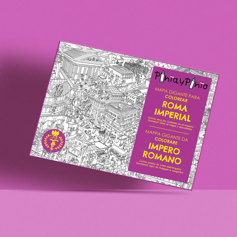

11.95€
Curious about life in Imperial Rome? Discover the traditions, religion and daily routines of an ancient city while having fun colouring!.


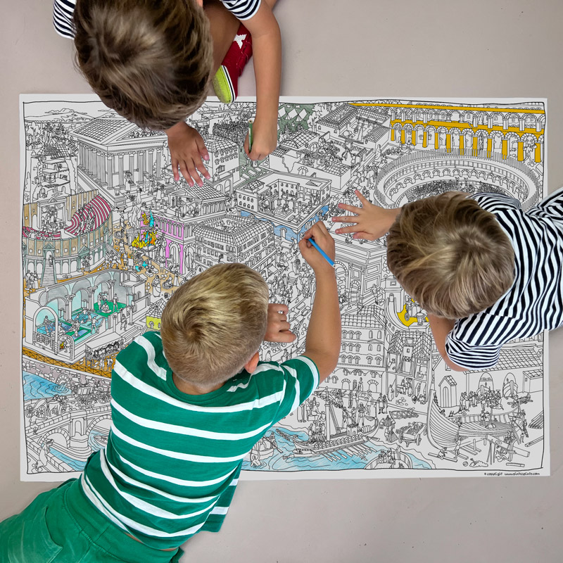
With the Imperial Rome map, uncover the life in Roman cities, their social structures, buildings, and traditions. Do you think you can name them all?
Enjoy and learn from this activity with family or friends.

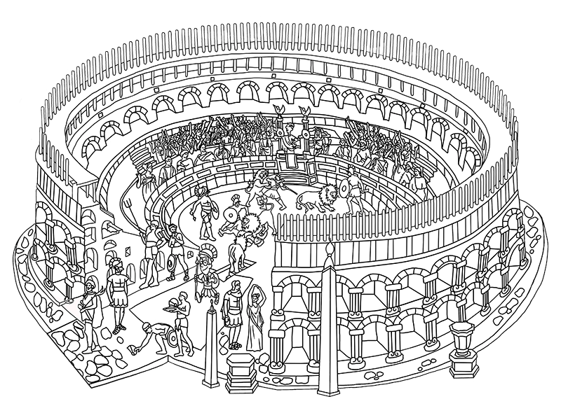
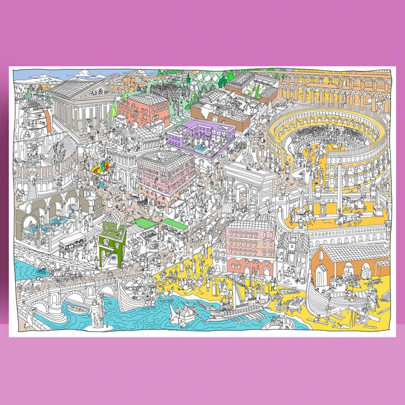
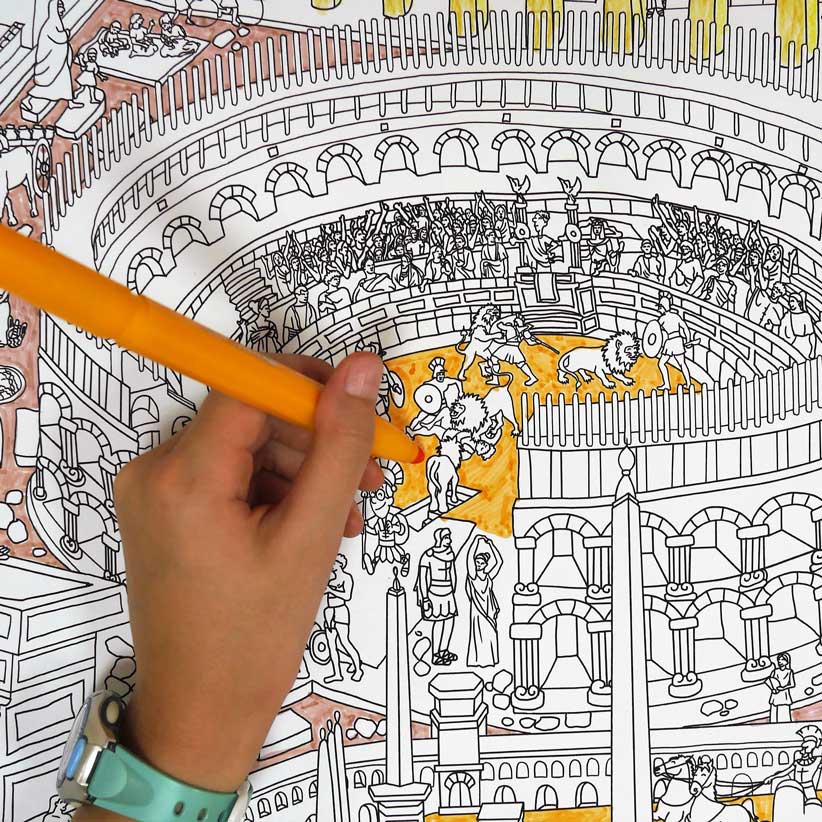
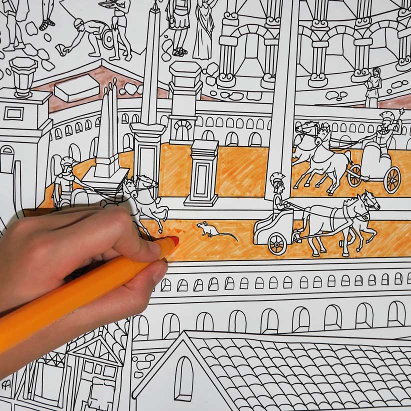
We have travelled back in time to the 1st century, at the height of the expansion of the Roman Empire. One of the most imposing buildings is the amphitheatre. A place for the entertainment of the people where you can see gladiator fights, animals brought from the ends of the empire and even naval battles. Amazing!

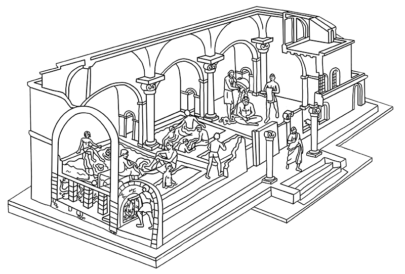
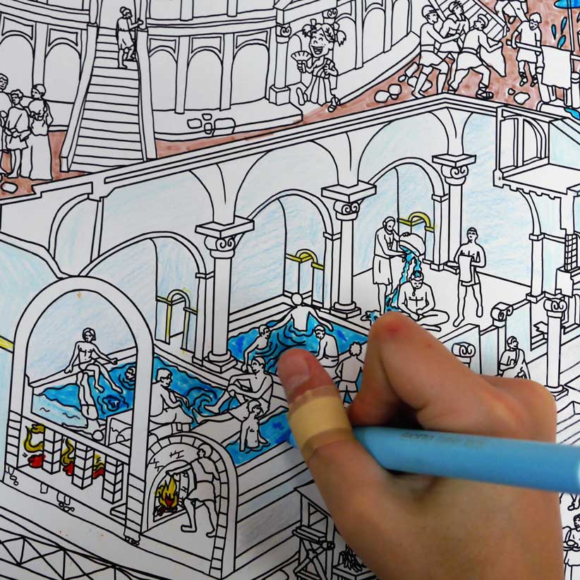
We took advantage of this long trip to experience a bath in its famous thermal baths, a spa circuit from the 1st century! Pinto and I had to go separately as men and women are not allowed to be together. Did you know that the biggest thermal baths not only had baths, but could also have a gym, library and gardens?

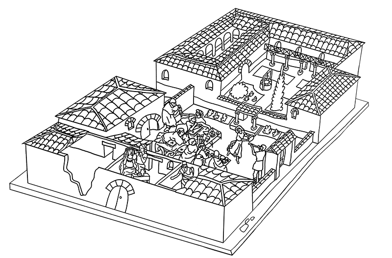
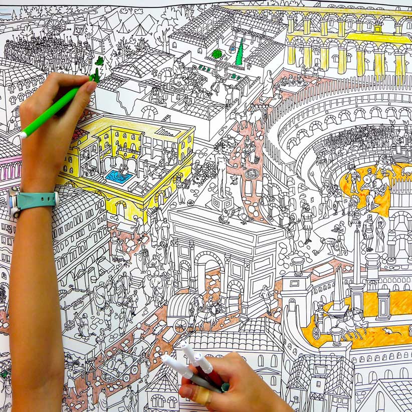
We have slipped into a domus, that is to say, a mansion of this period. They have 2 courtyards, one at the entrance, the atrium, and a larger one, the peristylum, surrounded by a covered gallery leading to the rooms and halls of the house. The decoration is AMAZING! Mosaics on the floors, frescoes on the walls and sculptures.

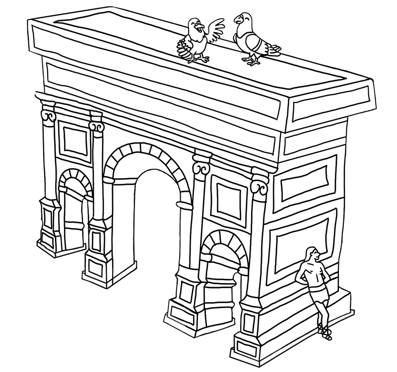
What better way to celebrate the successes of a general or emperor than to build a triumphal arch for the whole world to see your greatness. At the bottom there may be one or three arches decorated with different scenes and at the top is the written inscription for which it was built, although you have to know Latin to read it.
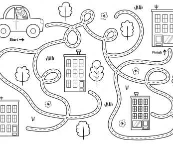
In our colouring-in map of Imperial Rome you will find a study document, in Spanish and Catalan, with questions to investigate personally or in groups and elements to observe that are representative of the period. Below is a small sample of them.
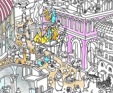
Due to the numerous fires, they created their own fire brigade, the ‘Vigile’, composed of 7,000 men with a military organisation. They used axes, hammers and woollen blankets dipped in vinegar water to put out the flames. Their motto was ‘Where the pain is, there are the Vigile’.
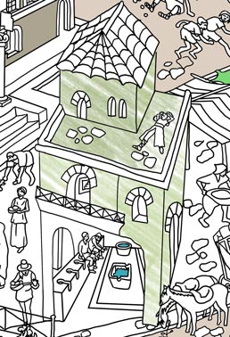
Only the domus of the rich had running water and something resembling a bath (lavatrina) which also included a toilet. The rest of the inhabitants used public fountains and latrines connected to the underground network of sewers. How did they dispose of their waste?
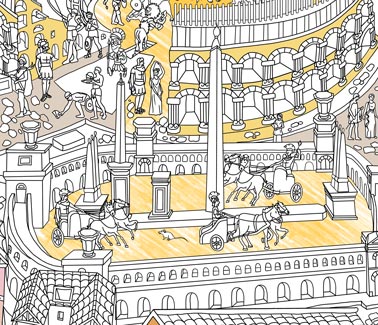
Along with the theatre and the amphitheatre, these were the great buildings used to entertain the people. Do you know what the expression ‘bread and circuses’ means? Can we compare it to modern-day football? What remains of circuses are preserved in your country?